Castro / Eureka Valley
One neighborhood in central San Francisco, known by more than one name. These pages follow the city's own boundary — the Castro/Upper Market analysis neighborhood — which takes in Eureka Valley proper along with Duboce Triangle, Corona Heights, and the slopes climbing west toward Twin Peaks. Its housing stock is heavily Victorian and Edwardian.
Map
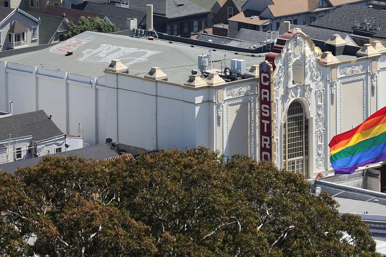
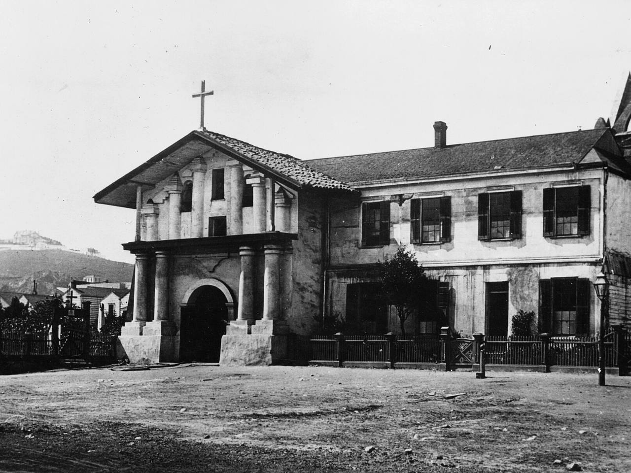
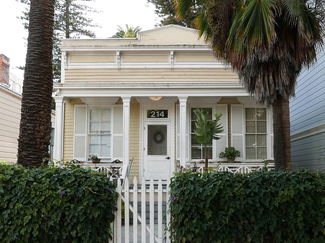
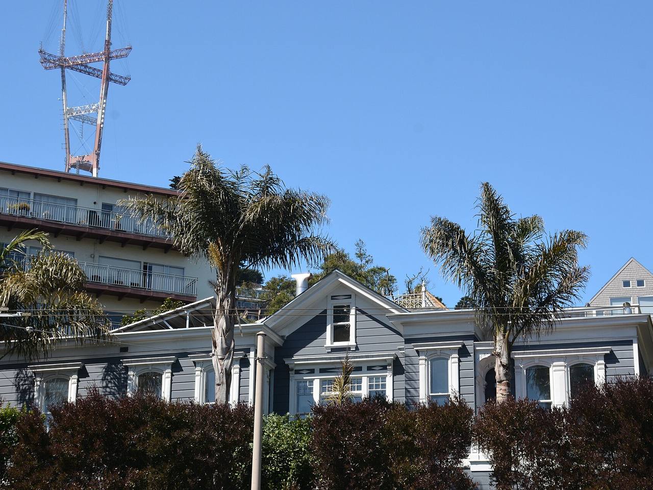
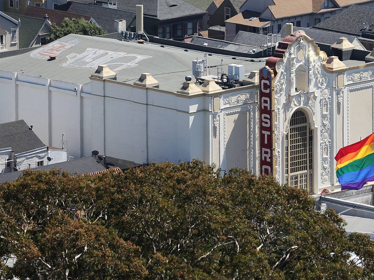
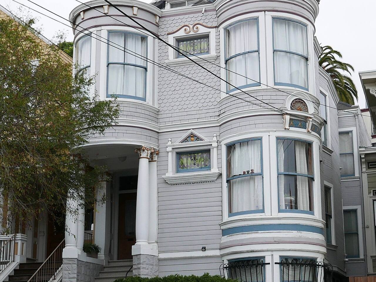
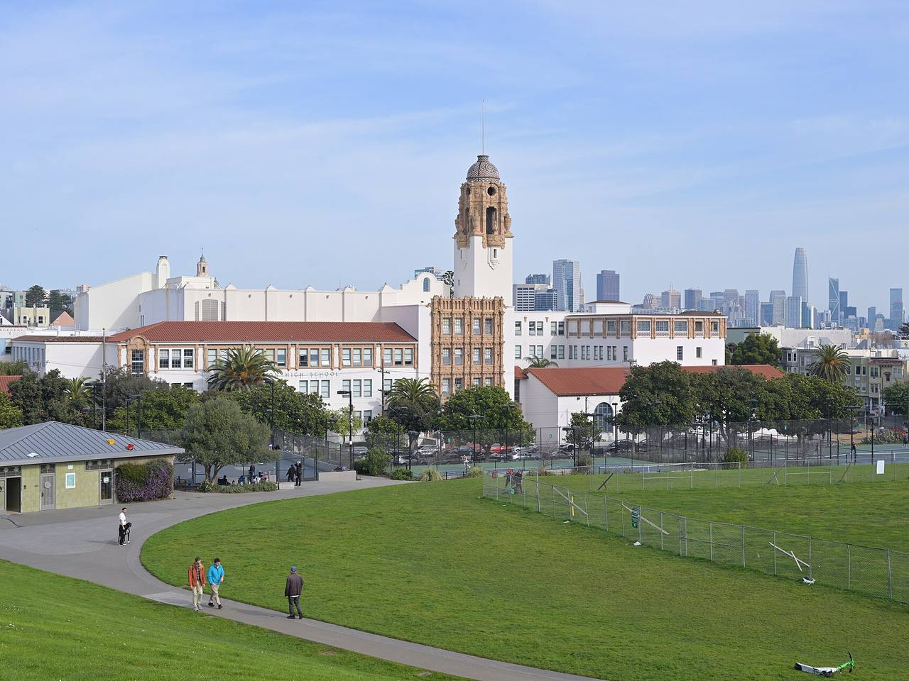
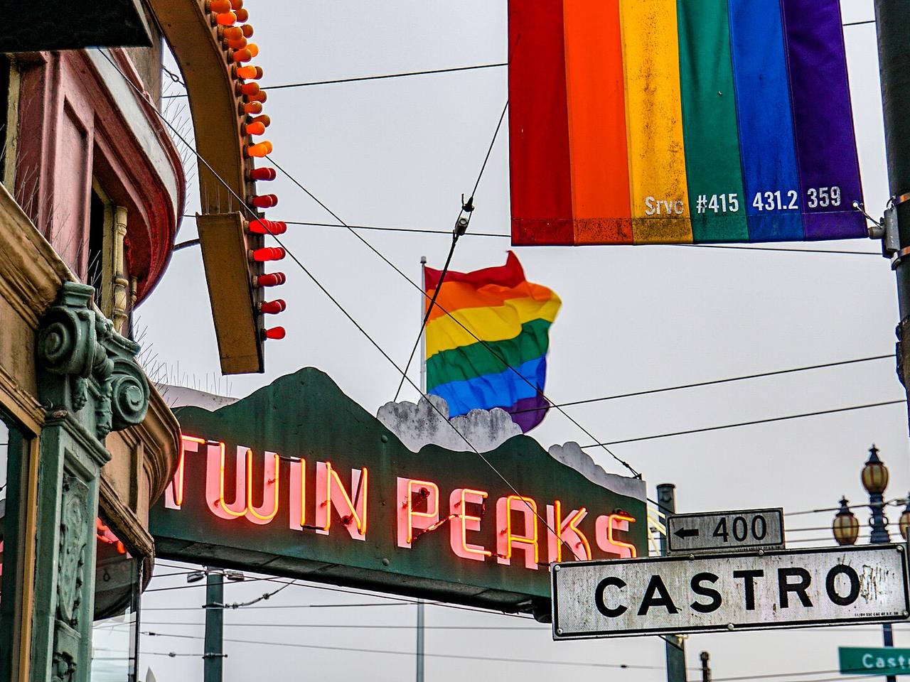
Named buildings and landmarks
-
1
-
2
-
3
-
4
-
5
-
6
-
7
-
8
-
9
-
10
-
11
-
12
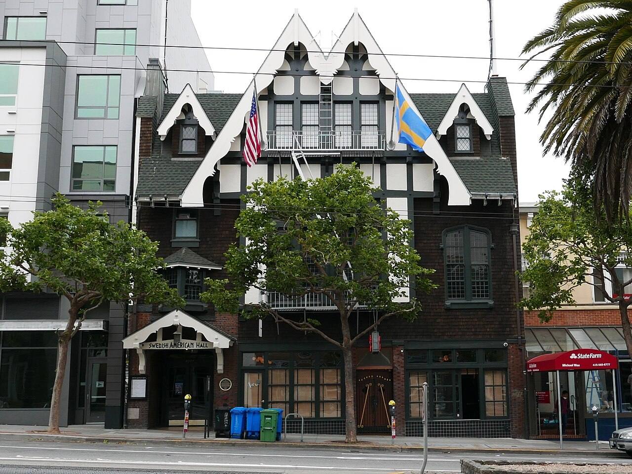
Also here: New Era Hall, Bob Ross House, Sha’ar Zahav (Historic Location), Bank of America Building, Castro Rock Steam Baths, Full Moon Coffeehouse, San Francisco AIDS Foundation, St. Nicholas Cathedral, Benedict-Gieling House, Charles Hinkel House, Collingwood Hall, Fernando Nelson House, Hecker Garage, Hibernia Savings and Loan Building, Kirby House, Most Holy Redeemer Catholic Church, Phoenix Brewery, Saint Francis Lutheran Church, Charles Strothoff House, First Christian Church, Huston Building, Congregation Sha'ar Zahav, Eureka Station post office, San Miguel Apartments, Most Holy Redeemer Convent, Most Holy Redeemer School, Finnish Evangelical Lutheran Church, Harvey Milk Civil Rights Academy, Most Holy Redeemer Rectory, Randall Museum, Belle-V Apartments, CPMC Davies, Castro/Mission Health Center, Saint Joseph's Hospital, Cliff's Variety, Eureka Valley Recreation Center, Everett Middle School, SFFD Station No. 6.
Castro or Eureka Valley?
Both — they are the same place. Eureka Valley is the older name, for the valley the neighborhood occupies; the Castro is what almost everyone calls it now, after its main street. This site files addresses under "Castro" and notes Eureka Valley alongside it.
The city's own records are no more consistent, which is worth knowing when reading the sources cited on each building's page:
One part of that city boundary is filed elsewhere on this site: Corbett Heights, the hillside north-west of the Castro, which local histories treat as its own neighborhood.
Streets documented so far
- 14th Street
66 buildings, built 1890–1990; 34 in the Duboce Triangle Historic District. - 15th Street
100 buildings, built 1897–2018; 24 in the Duboce Triangle Historic District Extension. - 16th Street
66 buildings, built 1885–1992; 21 in the Duboce Triangle Historic District Extension. - 17th Street
166 buildings, built 1885–2017; 18 in the Chula-Abbey Early Residential District. - 18th Street
177 buildings, built 1875–1988; 15 in the Eureka Valley Commercial & Castro Village LGBTQ+ Historic District. - 19th Street
139 buildings, built 1880–2014; 1 in the Eureka Valley Commercial & Castro Village LGBTQ+ Historic District. - 20th Street
143 buildings, built 1875–2012. - 21st Street
76 buildings, built 1900–2022; 9 in the Castro & Liberty Streets Historic District. - Abbey Street
10 buildings, built 1900–1924; 7 in the Chula-Abbey Early Residential District. - Alma Street
1 building, built 1908; 1 in the Cole Valley Historic District. - Alpine Terrace
35 buildings, built 1900–2007. - Beaver Street
43 buildings, built 1885–1991; 22 in the Duboce Triangle Historic District Extension. - Belcher Street
11 buildings, built 1900–1974; 5 in the Duboce Triangle Historic District. - Belvedere Street
1 building, built 1906; 1 in the Cole Valley Historic District. - Boynton Court
3 buildings, built 1890–1900; 3 in the Duboce Triangle Historic District. - Buena Vista Avenue
18 buildings, built 1895–2010. - Buena Vista Terrace
47 buildings, built 1884–1994. - Burnett Avenue
5 buildings, built 1980–1987. - Caselli Avenue
84 buildings, built 1875–2001. - Castro Street
151 buildings, built 1885–1985; 53 in the Duboce Triangle Historic District Extension. - Chula Lane
8 buildings, built 1880–1912; 6 in the Chula-Abbey Early Residential District. - Church Street
74 buildings, built 1893–1987; 1 in the Upper Market Street Commercial Historic District. - Clarendon Avenue
1 building, built 1974. - Clifford Terrace
17 buildings, built 1906–1959. - Clover Street
5 buildings, built 1905–2002. - Collingwood Street
58 buildings, built 1878–1981. - Corwin Street
1 building, built 1960. - Crown Terrace
3 buildings, built 1935–1999. - Cumberland Street
50 buildings, built 1894–2001. - Dehon Street
1 building, built 1902. - Deming Street
16 buildings, built 1900–2007. - Diamond Street
70 buildings, built 1888–2008. - Divisadero Street
21 buildings, built 1902–1939. - Dolores Street
33 buildings, built 1900–1974; 6 in the Chula-Abbey Early Residential District. - Dorland Street
12 buildings, built 1885–1961; 3 in the Dorland Street Bungalows Historic District. - Douglass Street
96 buildings, built 1885–2009. - Duboce Avenue
26 buildings, built 1880–1976; 18 in the Duboce Triangle Historic District. - Eagle Street
23 buildings, built 1903–1969. - Eureka Street
100 buildings, built 1882–2014. - Fairbanks Street
1 building, built 1941. - Flint Street
5 buildings, built 1957–1958. - Ford Street
24 buildings, built 1880–1936. - Fountain Street
1 building, built 1912. - Glenbrook Avenue
1 building, built 1949. - Glendale Street
1 building, built 1962. - Grand View Avenue
3 buildings, built 1936–1953. - Grattan Street
1 building, built 1900; 1 in the Cole Valley Historic District. - Graystone Terrace
27 buildings, built 1936–2001. - Hancock Street
44 buildings, built 1885–1977. - Harlow Street
1 building, built 1904. - Hartford Street
71 buildings, built 1885–1987; 21 in the Hartford Street Historic District. - Henry Street
55 buildings, built 1894–1933; 23 in the Duboce Triangle Historic District Extension. - Landers Street
32 buildings, built 1900–1990; 5 in the Alert Alley Early Residential Historic District. - Liberty Street
108 buildings, built 1890–1993; 30 in the Castro & Liberty Streets Historic District. - Loma Vista Terrace
5 buildings, built 1916–1951. - Lower Terrace
25 buildings, built 1900–1999. - Market Street
117 buildings, built 1875–2008; 16 in the Upper Market Street Commercial Historic District. - Marview Way
1 building; 1 in the Auxiliary Water Supply System (Discontiguous). - Masonic Avenue
1 building, built 2007. - Mono Street
1 building, built 1908. - Mountain Spring Avenue
4 buildings, built 1958–1960. - Noe Street
144 buildings, built 1880–2014; 25 in the Duboce Triangle Historic District. - Palo Alto Avenue
4 buildings, built 1951–1961; 4 in the Palo Alto Avenue Historic District. - Park Hill Avenue
11 buildings, built 1900–1953. - Pemberton Place
2 buildings, built 1926–1933. - Pond Street
13 buildings, built 1900–1923. - Prosper Street
22 buildings, built 1890–1922. - Raccoon Drive
2 buildings, built 1959–1991. - Rayburn Street
2 buildings, built 1900–1941. - Rivoli Street
1 building, built 1911. - Roosevelt Way
89 buildings, built 1895–2018. - Saint Germain Avenue
1 building, built 1958. - Sanchez Street
131 buildings, built 1885–2008; 27 in the Duboce Triangle Historic District. - Saturn Street
51 buildings, built 1890–1974. - Seward Street
1 building, built 1922. - Sharon Street
21 buildings, built 1900–1968. - Short Street
9 buildings, built 1908–1977. - Shrader Street
2 buildings, built 1910–1913. - States Street
49 buildings, built 1890–2015; 1 in the Duboce Triangle Historic District Extension. - Storrie Street
1 building, built 1902. - Temple Street
4 buildings, built 1910–1929. - Twin Peaks Boulevard
4 buildings, built 1954–1980. - Upper Terrace
35 buildings, built 1900–1999. - Uranus Terrace
23 buildings, built 1900–2000. - Villa Terrace
11 buildings, built 1933–1976. - Vulcan Stairway
10 buildings, built 1900–1928. - Waller Street
2 buildings, built 1900; 1 in the Duboce Park Historic District. - Walter Street
24 buildings, built 1885–1925; 24 in the Duboce Triangle Historic District. - Willard Street
1 building, built 1904. - Woodland Avenue
1 building, built 1937. - Yukon Street
13 buildings, built 1890–1949.
Parks and public spaces
- Buena Vista Park
Regional park, 38.4 acres. - Duboce Park
Neighborhood park or playground, 4.8 acres. - Eureka Valley Branch Library
Community garden, 18,731 sq ft. - Eureka Valley Rec Center
Neighborhood park or playground, 2.2 acres. - Grattan Playground
Neighborhood park or playground, 1.9 acres. - Interior Greenbelt
Neighborhood park or playground, 21.4 acres. - Kite Hill
Neighborhood park or playground, 2.9 acres. - Midtown Terrace Playground
Neighborhood park or playground, 1.6 acres. - Mission Dolores Park
Neighborhood park or playground, 16.0 acres. - Mt. Olympus
Mini park, 9,148 sq ft. - Noe & Beaver Mini Park
Mini park, 4,792 sq ft. - Roosevelt & Henry Stairs
Mini park, 16,988 sq ft. - Saturn Street Steps
Mini park, 8,276 sq ft. - Seward Mini Park
Mini park, 18,295 sq ft. - Twin Peaks
Regional park, 32.2 acres.
Every parcel the assessor's roll calls residential now has a page, built from the city's own records. Condominium parcels are held back until the building each unit belongs to can be established, and parcels missing from the roll are skipped. What the pages don't yet carry is the history — architects, builders, who lived there — and that arrives one building at a time.
Historic districts here
- 19th and Noe Historic District
- Alert Alley Early Residential Historic District
- Castro & Liberty Streets Historic District
- Chula-Abbey Early Residential District
- Chula-Dolores-17th Fire Survivors and Reconstruction Historic District
- Cole Valley Historic District
- Duboce Park Historic District
- Duboce Triangle Historic District
- Duboce Triangle Historic District Extension
- Eureka Valley Commercial & Castro Village LGBTQ+ Historic District
- Haight Ashbury Counterculture Historic District
- Hartford Street Historic District
- Hayes Valley Residential Historic District
- San Francisco Neighborhood Movie Theater Historic District (Discontiguous)
- Upper Market Street Commercial Historic District
- Upper Market Street Commercial Historic District Extension
Adjacent neighborhoods
The Mission adjoins east across Dolores and Church Streets, Noe Valley south over the ridge, and Hayes Valley north-east where Duboce Triangle meets Market Street. Haight Ashbury is north across Buena Vista Park. West the ground climbs through Corbett Heights — inside the same city boundary, filed separately here — to Twin Peaks, with the Inner Sunset on the far slope.